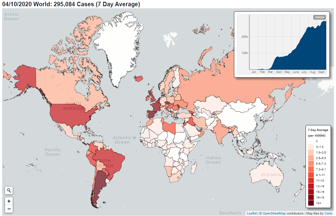
A powerful new tool, the Interactive World COVID-19 Tracker, has been developed by a coalition of researchers including Lionel Tarassenko to better understand the pandemic and predict its future course.
The Tracker is built on a large, single-centre, multimodal relational database consisting of information related to COVID-19 pandemic, such as infection and death rates, government responses, mobility changes and weather indices. The data is drawn daily from dozens of sources worldwide and works alongside an interactive COVID-19 tracker which visualises the global geographic spread of the pandemic, as well as giving a detailed view of the UK.

Screenshot of OxCovid19 Tracker showing a World view of cases as at 4 October 2020
The tool uses the combined power of statistical, mathematical modelling and machine learning techniques on an underlying database created through hundreds of hours of combined efforts with the contributions of multiple organisations, including the Oxford Institute of Biomedical Engineering, the Blavatnik School of Government, Imperial College London, the Met Office, World Value Survey, European Value Study, the Oxford Mathematics Institute, the Oxford Internet institute, Swansea University, Dioscuri Centre in Topological Data Analysis, and AGH University of Science and Technology in Poland.
The OxCOVID19 Project was initiated by Dr Adam Mahdi at the Institute of Biomedical Engineering - part of the Department of Engineering Science - at the end of February as a response to the challenges that researchers face when modelling the spread of COVID-19, such as erratic reporting, lack of granularity and inconsistent formatting of data.
To the project team’s knowledge, this is the only database that links so many features related to COVID-19 at such high geographical resolution. The strength of the OxCOVID19 Project is in collecting data from multiple sources, then unifying, validating and pairing it with geographical regions, before storing it in the database.